
TopoZeko: A MATLAB function for 3-D and 4-D topographical visualization in geosciences (SoftwareX, 2017)
The MATLAB function TopoZeko and all scripts and data needed to reproduce the figures and videos from the manuscript are available here (v1.0, as described in paper) or on my GitHub page.
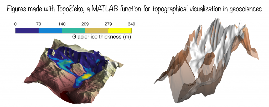
A few figures that were (partly) created with TopoZeko:
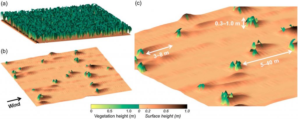
Mayaud et al. (2017, Journal of Geophysical Research: Earth Surface), Figure 15
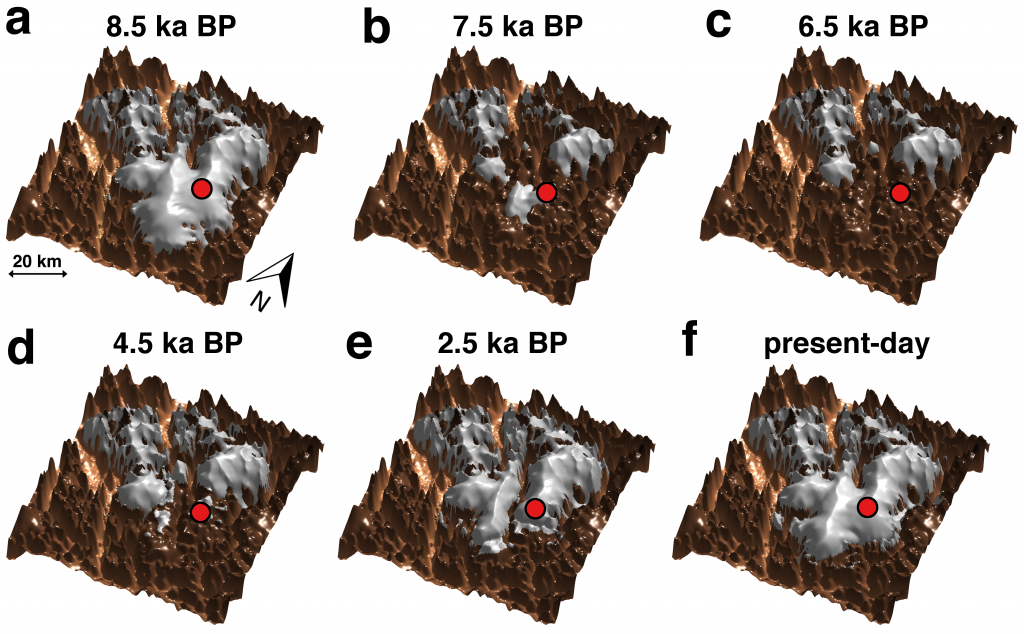
Zekollari et al. (2017, Quaternary Science Reviews), Figure 9